Show the full review area
Do not crop a property edge, street, easement, or project dimension needed for review.
Read the drawing without guessing
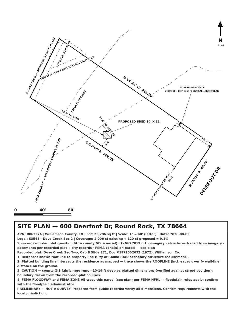
Scale connects a distance on paper to a distance on the property. Read the written scale, check the scale bar, and print at actual size before measuring the sheet.
Check my address freeFor fence, shed, and pool projects in Austin, Round Rock, Cedar Park, Georgetown, Pflugerville, and San Antonio.
The short answer
A note such as 1" = 20' means one inch on the correctly printed sheet represents 20 feet on the property. A line measuring 3 inches on that sheet represents 60 feet outside.
The same scale can appear as 1:240. Both sides then use the same unit. One inch on paper represents 240 inches, or 20 feet, on the property.
Scale does not prove a boundary. It only states the drawing relationship. Use written dimensions and verified records before scaled measurements.
Common scale examples
These examples explain the math. They are not a substitute for your permit office's sheet and scale requirements.
| Written scale | Ratio | What changes | Quick ruler check |
|---|---|---|---|
| 1 inch = 10 feet | 1:120 | Shows more detail, but covers less ground on the same sheet. | 2 inches on paper represents 20 feet on the property. |
| 1 inch = 20 feet | 1:240 | Balances lot coverage and readable detail for many residential drawings. | 2 inches on paper represents 40 feet on the property. |
| 1 inch = 30 feet | 1:360 | Fits more of a large lot, while making each feature smaller. | 2 inches on paper represents 60 feet on the property. |
| 1 inch = 40 feet | 1:480 | Covers still more ground, so labels and short dimensions need care. | 2 inches on paper represents 80 feet on the property. |
Three checks before filing
Confirm the accepted sheet size, required drawing details, and any stated scale rule. Local instructions control.
Choose actual size or 100%. Fit-to-page settings can shrink the drawing and make the written scale inaccurate.
Compare the printed bar with a ruler. Then verify one labeled distance. Stop if either check disagrees.
Choose a readable scale
Start with the required paper size and everything the reviewer must see. Choose a scale that keeps the full lot, project, dimensions, north arrow, notes, and title block inside the printable area.
Do not crop a property edge, street, easement, or project dimension needed for review.
A scale fails when dimensions fit but the text becomes too small to read.
Label the distances that decide placement. Do not make the reviewer measure every gap.
A scale bar gives the printed or resized page a visible check.
Site plan scale questions
Use a scale that fits the full required area on the requested sheet while keeping labels and dimensions readable. The permit office's current instructions control. Common engineering-style examples include 1 inch equals 10, 20, 30, or 40 feet.
It means each measured inch on the correctly printed drawing represents 20 feet on the property. The equivalent ratio is 1:240 because 20 feet contains 240 inches.
Print at actual size or 100%, not fit to page. Then measure the graphic scale bar with a ruler. You can also compare one written dimension with its measured paper length. If the checks disagree, do not measure other distances from that copy.
Do not rely on a screen ruler. Zoom level, browser scaling, and device size change the displayed length. Use written dimensions first. Use the scale bar on a correctly printed copy when you must measure the drawing.
No. Scale describes the drawing's size relationship. It does not certify a boundary or turn public-record linework into field-located surveying work.
EasySitePlan creates editable preliminary permit plans with a stated scale and graphic scale bar for eligible fence, shed, and pool projects in six Texas cities. You inspect the free watermarked preview before buying the clean PDF for $24.
Continue with one useful guide