Boundary work is regulated
Texas defines professional surveying to include locating real property boundaries, preparing related maps and descriptions, and surveying analysis tied to that work.
Read the Texas surveying act and rulesSite plan survey, explained
A "site plan survey" is not one universal document. Some permit offices use the phrase for a drawing that shows the lot and proposed work. A licensed land survey is different: a Texas surveyor locates boundaries using records and field evidence.
Check my address freeCheck eligible fence, shed, and pool projects in Austin, Round Rock, Cedar Park, Georgetown, Pflugerville, and San Antonio.
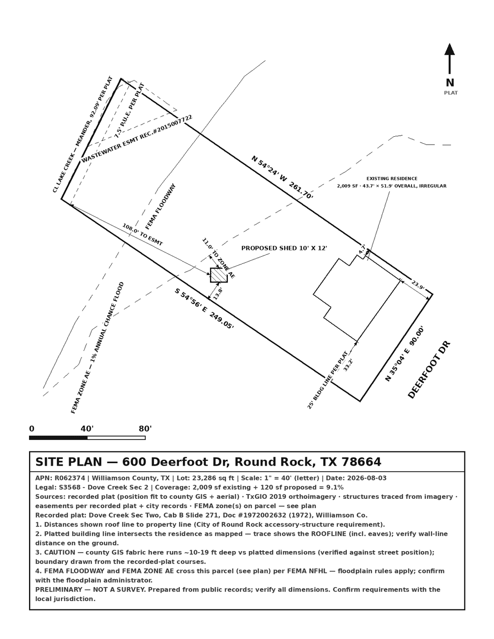
Permit office asks for a site plan?
Map the lot, existing improvements, and proposed work for review.
Need a custom permit set?
Bring records and measurements for a tailored drawing and revisions.
Need a boundary survey?
Use a Texas RPLS for boundary research, field evidence, and professional surveying.
The practical difference
Choose by the job the document must do, not by its label. Permit offices sometimes use "site plan," "plot plan," and "survey" differently.
Self-service
Custom drawing
Licensed work
Where EasySitePlan fits
EasySitePlan is for a homeowner or small contractor who can inspect the property information and submit the permit. It starts from public records and aerial imagery, then gives you an editor to make corrections.
Current coverage is Austin, Round Rock, Cedar Park, Georgetown, Pflugerville, and San Antonio. Eligibility is checked by address.
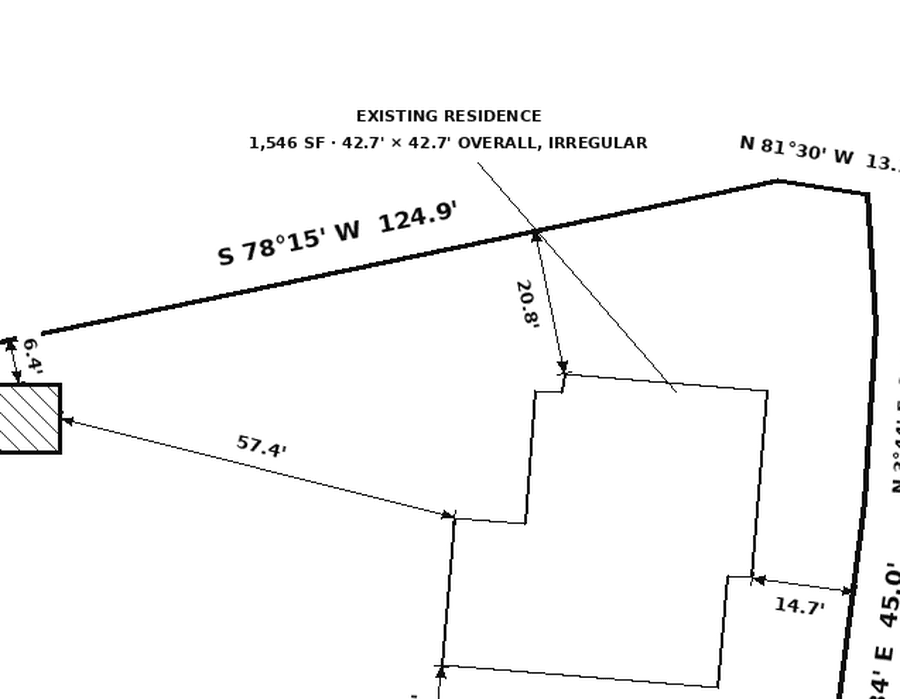
Stop and hire a surveyor
A public parcel map is useful context, not a professional opinion on the ground. Use a Texas registered professional land surveyor when a line must be located, a corner or monument must be found or set, or a signed survey is required.
Texas source check
Texas defines professional surveying to include locating real property boundaries, preparing related maps and descriptions, and surveying analysis tied to that work.
Read the Texas surveying act and rulesAustin's fence instructions, for example, ask for a "Plot Plan Survey" with specific features labeled. The exact checklist matters more than the generic name of the document.
Read Austin's current fence requirementsRequirements vary by property, project, and reviewing office. EasySitePlan does not replace a licensed survey, certify boundaries, provide engineering, submit a permit, or guarantee approval.
Site plan and survey questions
No. A site plan shows a property and proposed work for planning or permit review. A boundary survey is professional surveying work that locates real property boundaries using records, measurements, monuments, and other evidence.
Sometimes. An old survey can be useful source material if it still reflects the property and the reviewing office accepts it. Add the proposed work only after checking that the survey, improvements, easements, and permit instructions are current.
Hire a registered professional land surveyor when a boundary must be located or marked, a line is uncertain or disputed, or the reviewing office, lender, title company, or another party requires a signed or certified survey.
A drafter prepares a permit drawing from the records, measurements, and project details you provide. A drafter may offer more custom work, but drafting alone does not certify a property boundary unless the provider is also licensed to perform that surveying work.
Neither. EasySitePlan creates an editable preliminary permit plan from public records and aerial imagery. You inspect and correct it yourself. It does not perform field measurements, certify boundaries, provide engineering, or submit the permit.
The address check, guided editor, local checklist, redraws, and watermarked preview are free. The standard one-time price for the clean PDF is $24.
EasySitePlan checks the address and project first. If the preliminary plan fits, inspect the watermarked sheet free and buy the $24 clean PDF only when ready.
Check my address freeNeed a wider comparison? Compare all four permit-plan routes.